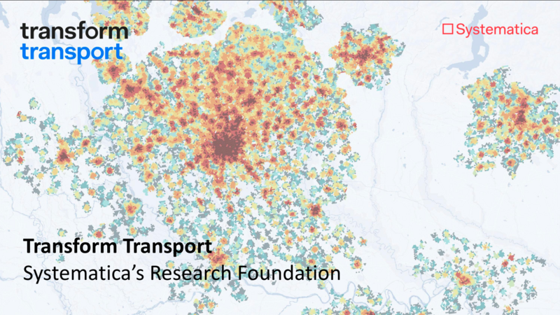
This case study investigates Milan’s 24-hour accessibility using a time-variant adaptation of the 15-Minute City framework.
The objective was to evaluate walkability across different times of day, focusing on the needs of nighttime communities, including shift workers and other non-traditional urban users. Leveraging GIS tools, Google Places API data, and a customised version of Transform Transport’s 15-Minute City Score Toolkit, the research analyzed over 46,000 Points of Interest (POIs) and mapped service availability across a hexagonal grid of Milan.
Results revealed stark contrasts in accessibility between day and night, with nighttime service availability often falling below 20% of midday levels, especially in peripheral areas. The study highlights the spatial and temporal inequalities in urban access and proposes the integration of temporal data into urban planning practices.